
|
Hydrology studies
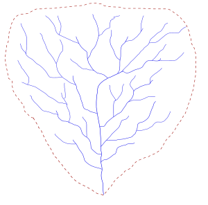
Mapping the drainage basin you are studying. Begin with the 1:50,000 digital maps and/or the landsat images of the area of study in OziExplorer. Trace the boundary of the drainage basin by following the height of land between creeks, rivers, wetlands and lakes. This mapped area will be the focus of your study. Be sure that the area you define includes topics of concern for your following study. Next, overlay these maps with maps of the basic geology of the basin, the land covers, transportation and access corridors, areas of habitation and other topics of concern. Such maps are often available locally from different government agencies. |
Basic water measurements in the drainage basin. These measurements should include those features that contribute water to the drainage basin and those that remove water from the drainage basin. Each of these factors need to be measured and quantified so that a water balance for the drainage basin may be calculated.
Water coming into the basin: Precipitation: Record of rain fall and snow fall should be recorded in many areas throughout the drainage basin so that an effective average of the amount of water added to the basin on an annual basin may be calculated. You should collect historical data on precipitation and collect your own data at a number of locations throughout the drainage basin. Recording water added to the basin by rainfall requires regular cumulative measurements collected in a manner that avoids evaporation.
Water stored in the basin: This includes water stored in lakes and in ground water. The amount of water stored in a lake may be determined by conducting a bathometric survey on a lake and the amount of ground water may be determined through setting a number of pisometers around the basin.
Water leaving the basin: Stream flow out of the basin and stream flows within the basin, evaporation and water flowing out of the basin through ground water movement
Basic stream environment analysis
Stream volume measurements:
existing record related to the drainage basin
Human uses of the drainage basin waters
Identification of changes in hydrologic systems
Basics for Measure the bankfull channel width at a few places in the reference site. Locate the benchmark at a place where the bankfull channel width and general stream conditions appear typical of average conditions for the site. Choose the location for the benchmark carefully; you will make several measurements there. Select a straight length of stream with a single channel, where you can see clear indications of the boundaries of the bankfull channel. The site you choose on the stream should not have a braided channel, multiple channels, large boulders, large logs, or engineered structures that alter the form of the channel at the benchmark. You will measure stream discharge at the benchmark, so choose a riffle area with a relatively smooth stream bottom and uniform depth. Permanently mark the benchmark using one of the following methods: Nail a metal survey tag into a healthy, firmly-rooted tree of at least 30 cm diameter, preferably a conifer such as cedar, Douglas fir, or pine. Pound a steel rebar rod into the ground and attach a metal tag. Affix a metal tag to a large boulder or bedrock canyon wall using masonry or rock nails.
Stretch a measuring tape between the two markers, so it is at the same elevation as the top of the bankfull channel. Make sure the tape is level and is perpendicular to the stream flow. Measure the bankfull width. Measure the bankfull depth, the depth from the tape measure to the bottom, to either dry land or stream bottom. Measure the depth at regular intervals across the stream (every 0.5 m in streams less than 5 m wide, every 1 m in streams 5 m to 15 m wide, and every 2 m in streams 15 m to 25 m wide). Also, take initial and final measurements 0.1 m away from each endpoint. Record all the information on the Field Data Sheet, Step 2. Calculate the average depth to the nearest 0.1 m.
