
Classifying your ecosystem
The Modified UNESCO Classification (MUC) System follows international standards and uses ecological terminology for the identification of specific land cover classes. The MUC classification system is arranged in a branching structure of definitions that get more detailed at each level of the system. At each step your choice is typically among only three to six land cover types. There is a class for every land cover and every system is mutually exclusive, meaning there is one and only one appropriate class for each land cover.
There are two parts to the MUC System
1. The MUC System Table contains the hierarchical list of labels for every class of land cover.
2. The MUC Glossary of Terms contains the rules and definitions used in determining the land cover class.
These two are combined in the MUC Field Guide. You may choose to use the MUC System Table and the MUC Glossary of Terms or the MUC Field Guide or both in your classification. However, it is crucial to always check the definition of the particular land cover class you believe is appropriate. For example, even if you think you know what a Closed Forest is, you should check the definition to confirm that your site is, in fact, a Closed Forest and not a Woodland. The whole MUC System has over 150 classes.
When classifying land cover using the MUC System, always begin with the most general classes and proceed sequentially to the more detailed (higher level) classes. The MUC System has 10 Level 1 classes, including Closed Forest, Woodland, and Urban. The Level 2 classes within Closed Forest are Mainly Evergreen, Mainly Deciduous, and Extremely Xeromorphic (Dry). These Level 2 classes contain more detail than the Level 1 class, Closed Forest, and they may all be collapsed into the Closed Forest class. In other words, any member of one of these three Level 2 classes is always a member of the Closed Forest Level 1 class.
The MUC System has up to four levels of classes arranged hierarchically. Each higher level is based on more detailed properties of land cover. MUC class “codes” of up to four digits are associated with each MUC class, with one digit for each level in the class.
|
To Classify Land Cover Using the MUC System Table and the MUC Glossary of Terms
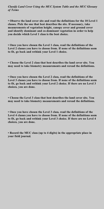
• Observe the land cover site and read the definitions for the 10 Level 1 classes. Pick the one that best describes the site. If necessary, take measurements of vegetation height, canopy cover and ground cover and identify dominant and co-dominant vegetation in order to help you decide which Level 1 class is the best choice. • Once you have chosen the Level 1 class, read the definitions of the Level 2 classes you have to choose from. If none of the definitions seem to fit, go back and rethink your Level 1 choice. • Choose the Level 2 class that best describes the land cover site. You may need to take biometry measurements and reread the definitions. • Once you have chosen the Level 2 class, read the definitions of the Level 3 classes you have to choose from. If none of the definitions seem to fit, go back and rethink your Level 2 choice. If there are no Level 3 choices, you are done. • Choose the Level 3 class that best describes the land cover site. You may need to take biometry measurements and reread the definitions. • Once you have chosen the Level 3 class, read the definitions of the Level 4 classes you have to choose from. If none of the definitions seem to fit, go back and rethink your Level 3 choice. If there are no Level 4 choices, you are done. • Record the MUC class (up to 4 digits) in the appropriate place in your field journal. In the MUC Field Guide, the definition from the MUC System Glossary of Terms is given for each MUC level. Drawings are interspersed throughout the guide to help you better understand the types of vegetation and the rules used in the MUC System. A table showing all the MUC classes is included at the end of the MUC guide. Some MUC definitions include specific examples of places or plant species. These are only examples. Other places may have this classification also, and a site may fit a given classification even if the example species are not present. You may wish to consult a local expert for examples specific to your area. Studying the structure of a biome involves a variety of factors. Identifying the type of biome is the first step in an analysis of a natural setting. Canada biomes are dominated by forests. A forest is a group of trees of sufficiently uniform species composition, age, and condition to be considered a homogeneous unit. In a forest, tree identification and tree measurements are central to forest studies but these are not the only forest studies. Forests can be described by their composition, function, and structure. Composition is the assemblage of the living beings and non-living objects that exist within an area. Function refers to the types and rates of processes, such as carbon production and interactions within the forest as a whole. Function is rarely used because it is not a `visible` component of the forest. Structure is the physical arrangement and characteristics of the forest. Structure is a more common study platform because it is a physical presence. The forestry studies outlined in these web pages focus on forest structure studies but also address forest function through the analysis of carbon sequestering and rates for carbon sequestering in forest stands The web pages following in the drop-down menu provide details on measuring the structure of a forest stand. This section describes a number of ways in which a stand may be sampled, the different types of measurements involved and the relationships between the different features being measured. |
